LiDAR Building Scanning
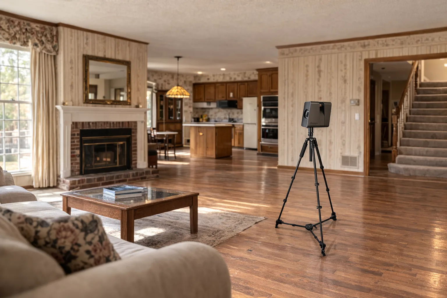
Start with complete field capture to avoid missing information later.
View this serviceComplete existing conditions packages for renovation projects, insurance claims, and permit applications — built for GCs, architects, project managers, and facilities managers who need reliable building records fast.
Good project planning starts with knowing what's actually there. We capture the building first, then organize that information into deliverables that support renovation design, estimating, permitting, and restoration scope development.
For renovation teams, that means fewer assumptions about what is there now. Instead of relying on outdated drawings or incomplete site notes, you start with a current record of the building and the geometry that affects design decisions.
For insurance and restoration work, documentation matters because the existing condition must be understood before repair scope is finalized. Clear baseline information supports communication between owners, contractors, and consultants.
This isn't extra paperwork. It's cleaner coordination, fewer missed conditions, and documentation that stays useful past the first meeting.
Start with complete field capture to avoid missing information later.
View this serviceTranslate existing conditions into clean, dimensioned plan drawings.
View this serviceMove from point cloud data into editable files for active design work.
View this service